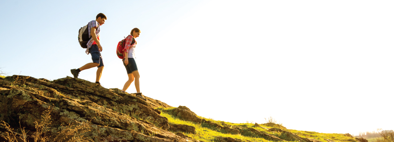
Walking Route
Through the collaborative efforts of the Martyrs’ Shrine, Georgian Bay Trails and Simcoe County Trails, a permanent Pilgrim Route has been established to the Martyrs’ Shrine. While the official signs marking the new Pilgrim Route continue to be developed, the map below can be of assistance in guiding your pilgrimage to the Shrine.
The 89 km off-road Pilgrim Route utilizes many local trails, including the Georgian Bay Snowriders Trail and Tay Shore Trail and also extends to Barrie’s North Shore Trail, Oro Medonte Rail Trail, Orillia’s Millennium Trails and the Uhthoff Trail. This is just the first phase of forming a “Canadian Camino,” the full pilgrimage route from Toronto to the Martyrs’ Shrine. Further expansions are planned south to Tottenham and into neighbouring regions. While hundreds of pilgrims already take part in organized pilgrimage walks on specific days throughout the summer from Burlington, Guelph, Toronto, etc. to the Martyrs’ Shrine, they tend to use roads, some quite busy, to make the annual trek. Certainly, a pilgrimage along the trails network in Simcoe County is more suitable for quiet reflection, meditation, prayer and enjoyment of our beautiful countryside. Thanks to a grant from the Ontario Trillium Foundation and the concerted efforts of the Martyrs’ Shrine, Georgian Bay Trails and Simcoe County Trails, the naming of a permanent Pilgrim Route to the Martyrs’ Shrine has been enthusiastically embraced by various municipalities in Simcoe County.
The Pilgrim Route enables anyone to follow the route any day of the year, alone or with friends or family, as a parish, or as a tourist to explore this part of Canada, in an off-road setting. Some pilgrims may want to follow the Pilgrim Route for religious reasons, others may just want to set themselves a personal challenge, meet other people, or visit another region.
Canoe Route
The Wendat people were masters of a new technology - the birchbark canoe, which was optimized for navigating the Great Lakes and surrounding waterways. These canoes could hold upwards of 1000lbs worth of supplies and within 30 days could be access a 1000 mile radius, reaching as far west as Winnepeg, as far north as Hudson Bay, as far south as the Chesapeake and as far east as the Gulf of St. Lawrence. This navigable region was a trade region, and allowed the Wendat to interface with various other indigenous nations and bands.
The waterway that was used by the early missionaries and trailblazing explorers like Samuel de Champlain to travel from Huronia to Quebec, New France's economic hub, is described by this Canoe Route. The 800 mile trip takes 20-30 days by canoe through French, Mattawa and Ottawa Rivers to the St. Lawrence.